Route statistics
Starting point
Mrkopalj
Length
25 km
Total ascent
450 m
Highest point
1098 m
Lowest point
815 m
Physical difficulty
3/5
Technical difficulty
2/5
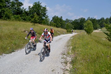
The first six kilometers of this circular route, climbing to the highest habitable settlement in Croatia, provide wonderful views of the Mrkopalj region and well-known Čelimbaša ski resort. When in Begovo Razdolje, turn right at the Jastreb Hotel and follow the macadam road to the Matić poljana with 26 stone sculptures that remind us of the cruelty of Gorski Kotar winters.
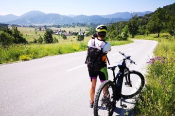
At the crossing with the Mrkopalj – Ogulin road we turn right and after 500 meters to the left into the coniferous forest and continue down the narrow path surrounded by rocks to Široka draga and the crossing with the road to Novi Vinodolski. We turn right and slowly descend towards Mrkopalj.