Route statistics
Starting point
Vrbovsko
Length
24 km
Total ascent
582 m
Highest point
668 m
Lowest point
380 m
Physical difficulty
3/5
Technical difficulty
2/5
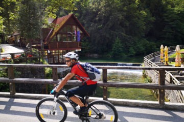
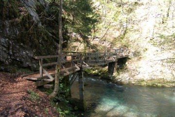
The trail is surrounded by a significant landscape of Kamačnik near Vrbovsko, through which flows a 3200 m long water course Kamačnik. The trail starts from the catering facility ‘Kamačnik’, climbs through the rich vegetation above the canyon and then descends to the Senjsko settlement on the Karolina road. After about 1 km of the main road, turn right towards the valley of the Dobra River.
This pleasant ride continues along the railroad track and the Dobra River, noted for its outstanding attractions and beauty, diversity of its coastline and basin, and the purity and clarity of its water.