25 km 
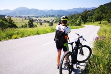
From the centre of Mrkopalj we take the Karolina road in the direction of Ravna gora to Poljička kosa, after which we turn left onto the macadam road leading us to the Polane excursion site. From Polane we continue towards the peaks of Črmuž and Petehovac, after which a combination of a forest path and a macadam road takes us down to Sunger.
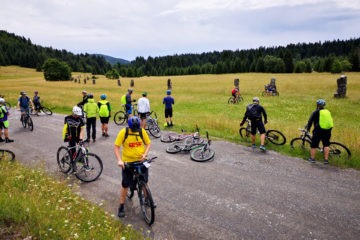
After a short challenging climb to Brestova Draga on an asphalt road, we again turn on a macadam road. There follows a relatively flat section of the Rudine area rich in coniferous forests which hosts the Zagmajna biathlon centre and the final downhill towards Mrkopalj.
An old road, known locally as the “Karolina”, has passed through Mrkopalj since 1732. A few kilometres further, in the […]