Route statistics
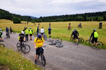
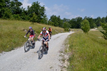
After the start in Mrkopalj and the first three kilometers towards Tuk, follows the climb to Matić poljana, a monumental area with 26 stones symbolizing frozen partisans. We continue on the macadam road towards Jasenak and on the edge of the field after 2 km we turn left where the climb towards the Jančarica mountain hut starts. From Jančarica, the highest point of this route, it is a nice downhill ride to another field – Vrbovska poljana (field).
This famous destination for active vacationers is cloaked with snow in the winter months, and is also suitable for other fun activities in nature. From Vrbovska poljana, we first take macadam and then asphalt road towards Begovo Razdolje and Mrkopalj, leaving behind 1524m high Mount Bjelolasica – the highest peak of the Primorje-Gorski Kotar County.
