Route statistics
Starting point
Brod Moravice
Length
23 km
Total ascent
444 m
Highest point
653 m
Lowest point
514 m
Physical difficulty
3/5
Technical difficulty
2/5
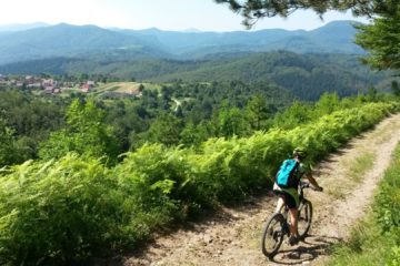
The trail begins from Brod Moravice towards Moravička Sela and Šimatovo, an ethno village that looks like a postcard. A fine macadam road gently descends the slopes above the canyon of the Kupa River, to an altitude of about 500 meters above sea level. Then follows a steep 3 km climb to the village of Gornji Kuti, the cultural centre of the region, famous for its library and reading room founded in 1936. Return to Brod Moravice through the village of Vele Drage. Stop here and treat yourself with one of the best plum jams around!
